Manila City Mayor Francisco “Isko Moreno” Domagoso has ordered the conduct of a city-wide, simultaneous earthquake drill across all 896 barangays of the capital as part of efforts to strengthen disaster preparedness and “business continuity and resiliency” in anticipation of “The Big One.”
In his “First 100 Days” report delivered recently at the San Andres Sports Complex, Domagoso said the drill will be a community-based exercise designed to simulate real-world disaster scenarios and ensure every barangay is ready to respond swiftly and effectively.
The mayor has tasked the Manila City Disaster Risk Reduction and Management Office (MCDRRMO) to lead and coordinate the city’s preparedness efforts for the large-scale drill.
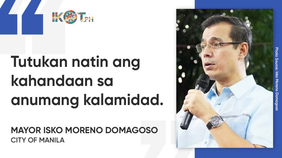
“Tutukan natin ang kahandaan sa anumang kalamidad para sa business continuity and resiliency sa ating lungsod,” he said.
“Isasagawa natin ang annual community-based simultaneous earthquake drill na lalahukan ng 896 barangays.”
“Dahil dito, isasagawa natin ang annual community-based simultaneous earthquake drill na lalahukan ng 896 barangays,” Domagoso added.
The MCDRRMO said the exercise aims to enhance the readiness and coordination of all stakeholders in responding to earthquake, tsunami, and flood emergencies within Manila.
The drill will test response and communication protocols of the MCDRRMO and barangay DRRM committees, evaluate evacuation procedures in coastal and flood-prone areas, and identify operational gaps in the city’s disaster management system.
Under the plan, the simulation will cover three major scenarios—earthquake, tsunami, and flood—each scheduled at different times of the day to test readiness under varying conditions.
“Tatlong scenario ang dapat makabisado ng bawat Manilenyo: ang baha, tsunami o lindol.”
“Sa simulation exercise na ito, tatlong scenario ang dapat makabisado ng bawat Manilenyo: ang baha, tsunami o lindol na maaaring maganap sa umaga, o sa hapon, o kaya sa gabi,” he said.
The scope and coverage of the simulation will include high-risk zones: for earthquake, the City Hall complex, schools, and government offices; for tsunami, coastal barangays along Manila Bay such as Malate, Ermita, Baseco, and Tondo; and for flood, low-lying areas near the Pasig River and esteros.
Participants will include MCDRRMO personnel, barangay DRRM committees, the Manila Department of Engineering and Public Works (DEPW), Bureau of Fire Protection (BFP), Manila Police District (MPD), various health and rescue units, public and private schools, hospitals, business establishments, community volunteers and residents.
“Manila is situated within the seismically active region influenced by the West Valley Fault system. Although the fault line does not directly traverse the city, its proximity places Manila within the intensity impact zone in the event of a major earthquake, such as the projected magnitude 7.2 ‘Big One’,” according to the MCDRRMO.


