
The City of Manila has received the Special Achievement in GIS (SAG) Award by Esri, the global leader in Geographic Information Systems, at the Esri User Conference in San Diego, California.
Mayor Francisco “Isko” Moreno Domagoso led the Manila delegation to receive the award.
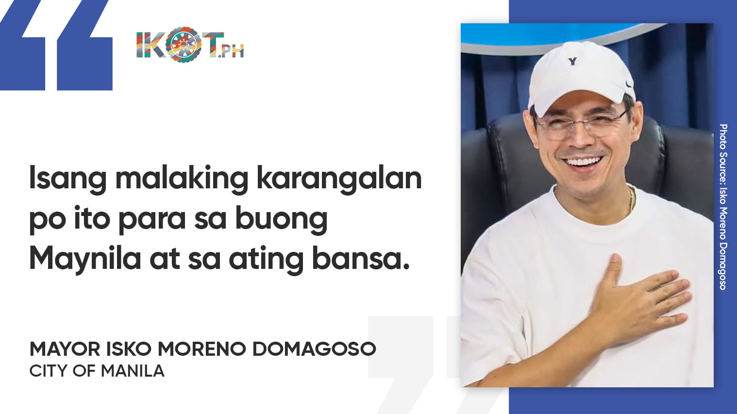
“Isang malaking karangalan po ito para sa buong Maynila at sa ating bansa,” Moreno said.
“Ang higit pang nakapagpapasaya, Maynila ang nag-iisang awardee mula sa Pilipinas sa 197 organisasyong kinilala mula sa mahigit 100,000 Esri clients sa buong mundo.”
“Masaya po nating tinanggap ang Special Achievement in GIS (SAG) Award mula sa Esri sa San Diego, California. Ang higit pang nakapagpapasaya, Maynila ang nag-iisang awardee mula sa Pilipinas sa 197 organisasyong kinilala mula sa mahigit 100,000 Esri clients sa buong mundo,” the mayor added.
The City of Manila is the only Philippine awardee among the 197 organizations chosen from more than 100,000 Esri clients worldwide.
Manila joined a distinguished group of international awardees that included the Land Transport Authority of Singapore, Turkey’s Disaster and Emergency Management Presidency, Switzerland’s Humanitarian Aid unit, Habitat for Humanity International, Wajima City of Japan, and the Regional Centre for Mapping of Resources for Development in Kenya.
“Hindi po ito tsamba. Bunga ito ng sipag, dedikasyon, at inobasyon.”
“Hindi po ito tsamba. Bunga ito ng sipag, dedikasyon, at inobasyon ng ating Manila DRRMD sa pangunguna ni Director Arnel Eustacio Angeles, ng ating GIS Team, at ng lahat ng kawani na walang sawang naglilingkod para sa kaligtasan ng bawat Manileño. Maraming salamat at ipinagmamalaki ko kayo,” Domagoso stressed.
The SAG Award is presented to governments and organizations worldwide that demonstrate exceptional innovation and excellence in using GIS technology to improve public service, decision-making, and operational efficiency, with winning organizations set apart by their ability to create measurable benefits for citizens and stakeholders.
Through the use of GIS, Manila significantly improved its disaster preparedness and response capabilities, implementing projects that use digital mapping, spatial analysis, and real-time data monitoring to strengthen the city’s management of floods, fires, and other emergencies across the city’s six districts.
“Kapag namumuhunan tayo sa makabagong teknolohiya, namumuhunan din tayo sa kaligtasan ng ating mga kababayan. Ito ang klase ng serbisyong gusto nating maibigay—mas ligtas, mas handa, at mas maaasahang Maynila,” he stressed.
Domagoso also attended the invitation-only Executive Session at the Esri User Conference 2026, where GIS leaders from around the world shared knowledge, best practices, and resources curated from the ArcGIS community.
Joining him in San Diego were Manila City Assessment Department Officer-in-Charge Atty. Ma. Cristina Fernandez, Manila GIS Team Leader Ramon Jefferson Verano, and Manila City Disaster Risk Reduction and Management Department research and planning chief Christian John Evangelista.