The Department of Public Works and Highways (DPWH) is looking to complete by the first quarter of 2023 the detailed engineering design (DED) works for the Bataan-Cavite Interlink Bridge, a 32-kilometer-long inter-island bridge project between the provinces of Bataan in Central Luzon and Cavite in Southern Tagalog Regions.
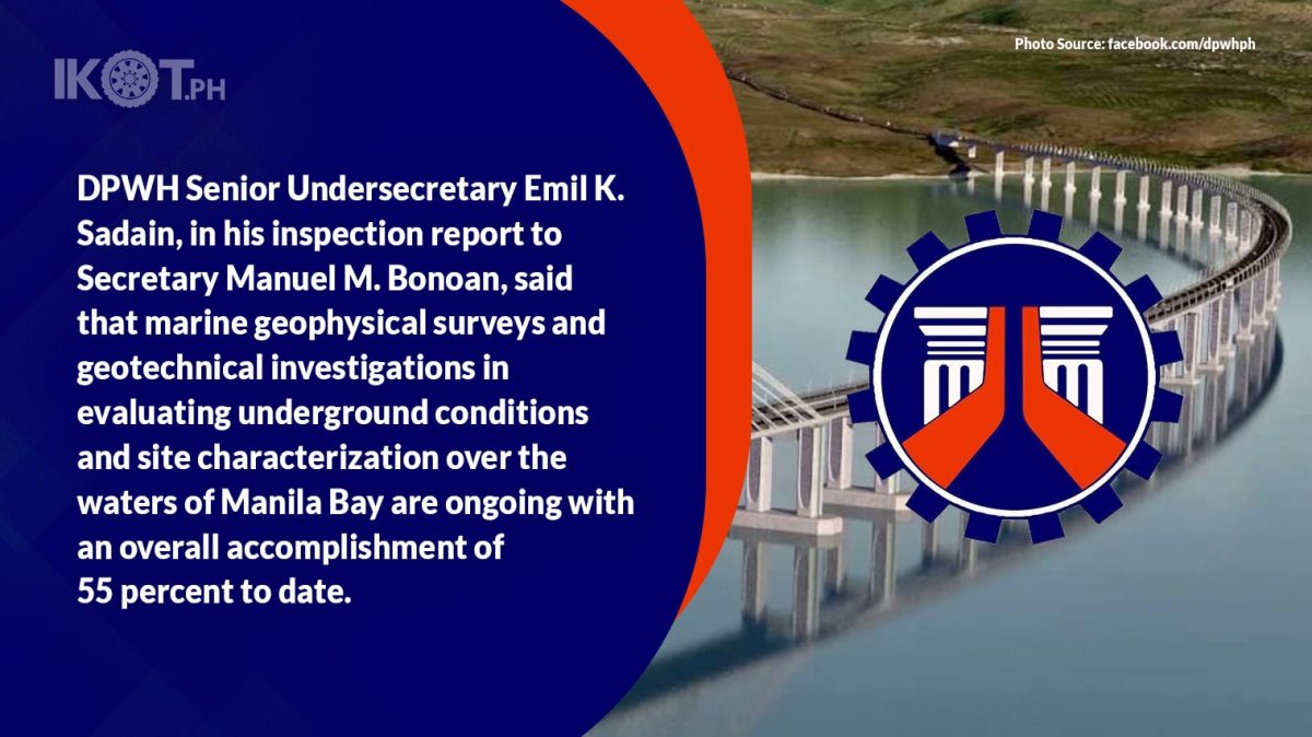
DPWH Senior Undersecretary Emil K. Sadain, in his inspection report to Secretary Manuel M. Bonoan, said that marine geophysical surveys and geotechnical investigations in evaluating underground conditions and site characterization over the waters of Manila Bay are ongoing with an overall accomplishment of 55 percent to date.
As another intervention to address Metro Manila’s persistent problem with traffic congestion, the Bataan-Cavite Interlink Bridge will introduce new expansion and economic growth opportunities outside of the Metropolis with investors now setting up industries leading to the route of promising new land and marine viaduct highway to be built between Regions 3 and 4A.
Although this project still has a long way to go, the huge progress that DPWH and the team of DED Consultants have been making recently is a manifestation of the government’s commitment to fast-track its implementation.
According to Senior Undersecretary Sadain, the geological aspects of the site, surface, and subsurface, have to be studied in detail given the nature of the project before commencement of construction activities for this exciting infrastructure flagship project whose feasibility studies were started and completed under the term of President Rodrigo Roa Duterte and will set to motion to get it done in the ‘build better more’ program of President Ferdinand Romualdez Marcos Jr. administration.
As another intervention to address Metro Manila’s persistent problem with traffic congestion, the Bataan-Cavite Interlink Bridge will introduce new expansion and economic growth opportunities outside of the Metropolis with investors now setting up industries leading to the route of promising new land and marine viaduct highway to be built between Regions 3 and 4A, added Senior Undersecretary Sadain.
With the Bataan-Cavite Interlink Bridge Project, the soon-to-be new four (4)-lane permanent linkage between Bataan and Cavite will cut travel time from five hours to just 20 to 30 minutes.
Implemented by DPWH Unified Project Management Office-Roads Management Cluster II (Multilateral), the project is being developed with funding from the Asian Development Bank (ADB) with the DED contract awarded to the joint venture of TY Lin International and the Republic of Korea’s Pyunghwa Engineering Consultants, working with Switzerland-based Renardet and the Philippines’ DCCD Engineering Corporation.
Senior Undersecretary Sadain together with Bataan Governor Jose Enrique S. Garcia III, Bataan 3rd District Representative Maria Angela Garcia, RMCII Multilateral UPMO Project Director Sharif Madsmo H. Hasim, Project Manager Teresita V. Bauzon, and Mariveles Mayor Ace Jello Concepcion onboard deepwater vessel Trinity Surveyor personally witnessed on Friday, September 23, 2022, the actual operations of geotechnical investigation survey on the waters of Bataan.
DED Consultants led by Team Leader Marwan Nader provided a briefing for the project progress.
The Bataan-Cavite Interlink Bridge project includes the construction of two cable-stayed navigation bridges on either side of historic Corregidor Island. Called the North Channel Bridge and South Channel Bridge, the structures will have main spans of 400 meters and 900 meters, respectively.
The survey vessel Trinity Surveyor has the expertise in services requiring hydrographic surveying marine equipment, and a variety of methods and technical means for carrying out exploratory work to study diverse natural conditions for gathering good quality information.
On September 18, 2022, Trinity Surveyor reached the target depth of 125 meters borehole for the South Channel Bridge area.
The Bataan-Cavite Interlink Bridge project includes the construction of two cable-stayed navigation bridges on either side of historic Corregidor Island. Called the North Channel Bridge and South Channel Bridge, the structures will have main spans of 400 meters and 900 meters, respectively.
Meanwhile, other deployed research vessels carry out geophysical surveys. These are the Java Irdina, MY Isla, and Coral Giant.
Besides the other factors that are involved, planning and development of the project require adequate knowledge of the geotechnical conditions at the site and the application of tools and techniques that are helpful in enhancing the efficiency of the geotechnical evaluation study.
The bridge alignment crosses over Manila Bay – a natural harbor that is bounded by Cavite and Metro Manila on the east, Bulacan and Pampanga on the north, and Bataan on the northwest.
Alignment in Bataan is situated between the Roman Highway and then traversing the barren land area at Barangay Alas-Asin, and then skirts the shoreline of Barangay Mountain View in Mariveles.
In Cavite, the alignment will start from the shoreline of Barangay Timalan Balsahan in Naic, then traverse through the agricultural and residential area and terminating at Antero Soriano Highway, which is in a relatively flat terrain in Barangay Timalan Balsahan and Barangay Timalan Concepcion.