In the wake of the devastating floods that affected Marikina City and several other cities in Metro Manila in November last year, the Task Force Build Back Better (TF BBB) has started dredging the Marikina River.
Environment Secretary and TF BBB chair Roy Cimatu made the announcement following reports that portions of the river have been illegally reclaimed, reducing drastically the ability of the waterway to contain excess rainwater during typhoons.
Cimatu also said that a number of structures have been found occupying easement areas, in violation of Presidential Decree (PD) 1067 or Philippine Water Code.
“Using official land records dating back as far as 1914 and 1961, historical maps, and satellite photos from the National Mapping and Resource Information Authority as a basis, the Department of Environment and Natural Resources (DENR)-National Capital Region conducted aerial and ground verification surveys that confirm encroachments made not only in the river itself but in the designated legal easements as well,” the environment chief said.
Article 51 of PD 1067 explicitly prohibits the construction of any permanent structure along three meters of the banks of rivers and streams and shores of seas and lakes in urban areas like Metro Manila, as these areas are reserved “for public use”.
Based on existing land records too, 25 lot parcels with a total area of 271,625 square meters (27 hectares) were reclaimed without necessary permits, either partially or completely encroaching into the Marikina River.
Eight of these parcels covering 12,039 square meters have been placed under Category 1 or parcels of land found to be reclaimed but with no titles nor claimants.
Placed under Category 2, meanwhile, are five titled lots which partially encroach on 10,418 square meters of the river.
Under Category 3 are 16 titled properties measuring 22,467 square meters are in the river itself.
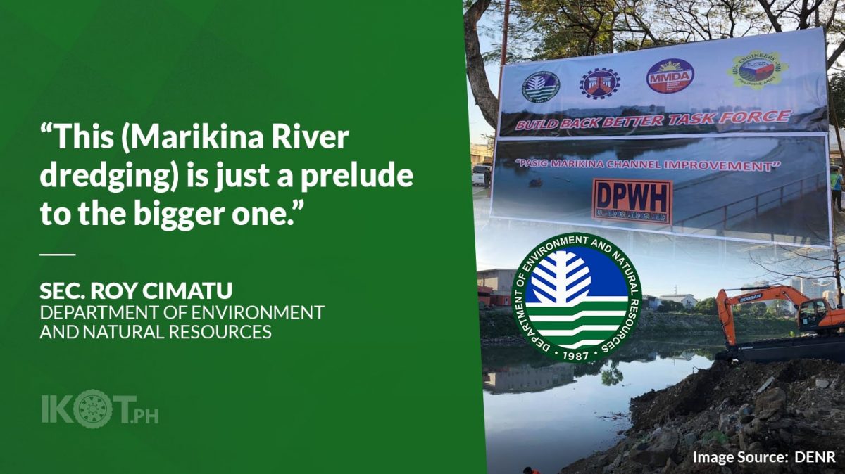
The pilot dredging will be in the portion of the river near Marcos Highway in Barangay Kalumpang while a simultaneous bamboo planting activity will take place on the banks of Barangay Industrial Valley Complex, both in Marikina City.
“The widening of Marikina River to its original width is but the start of the series of activities the Task Force has identified to address the perennial problem of flooding within the Marikina River Basin,” the environment head stressed.
“The restored riverbanks will be planted with bamboo to help prevent riverbank erosion and siltation.”
He also said that the restored riverbanks will be planted with bamboo to help prevent riverbank erosion and siltation, one of the strategies that TF BBB has adopted in the rehabilitation of Cagayan River.
“We will have to show our political will here.”
“We will have to show our political will here and sustain our efforts to rehabilitate the Marikina River and other waterways. This is just a prelude to the bigger one,” Cimatu said, referring to the tasks that await the TF BBB in downstream portions of the river, particularly in the Pasig area where the riverbank is narrower due to the reclamations and presence of illegal permanent structures.
He noted that the width of the river in the upstream portion is about 90 meters wide, then narrows down to 80 meters at the boundary of the Marikina-Pasig boundary and becomes uneven, varying from anywhere to 46 meters to 78 meters.
“It is like traffic. From a three-lane highway, the river becomes a single lane highway once it reaches Pasig,” Cimatu explained, citing figures from the Department of Public Works and Highways.
Records also show that it is not only the width of the river that has considerably dropped but its depth as well as the upstream portions measures about eight meters deep but only three to five meters deep by the time it merges with the Pasig River.