My curiosity started when I was way younger. Back then, many of my relatives from Balabac (the southernmost part of Palawan), who often visited us in the city, would bring treats that looked anything but local. Like the extremely spicy Maggi Kari, Coco Jelly, and my favorite Apollo wafers. As a kid, I had little to no clue how adults were getting those “exclusive” snacks. I would usually resign to thinking that they simply went overseas to buy those treats.
I didn’t know then that Balabac is apparently closer to Malaysia than Puerto Princesa. But when I found out about it, it made me curious about the idea that maybe the island of Palawan did not come from where the rest of the Philippine islands came from. Of course, the answer to my curiosity came years later when I learned how to read, and, okay, thanks to my History professor of a mother.
I could still remember how she cleverly asked me why there seemed to be no signs of dinosaurs ever found in the country, and yet, the rocks found in Palawan are much older than dinosaurs. As a kid, it baffled me to process that question, but since she started it with dinosaurs, it was enough to catch my attention.
Dinosaurs, underwater Philippines, and the latecomer Palawan
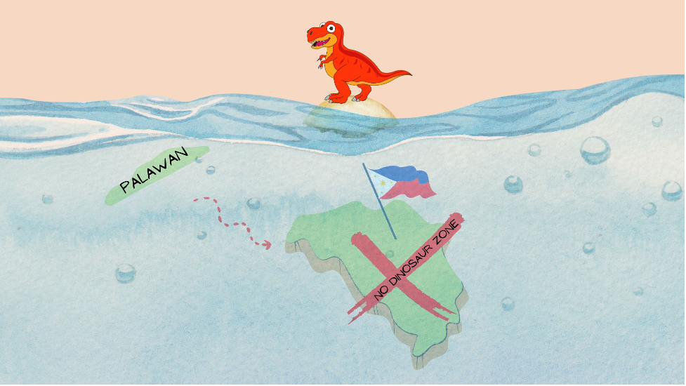
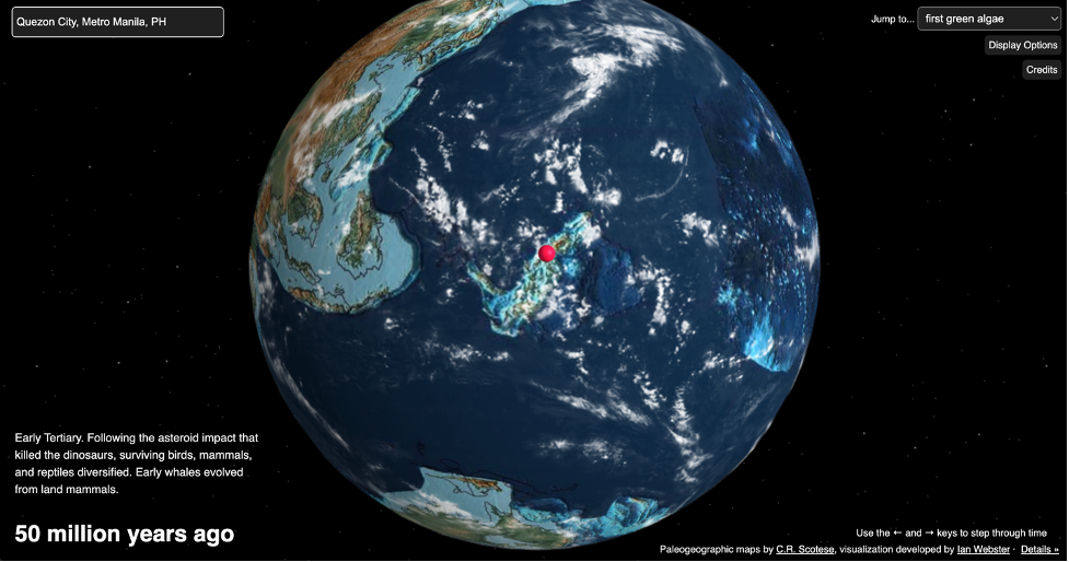
She further explained that there was no Philippines just yet when the dinosaurs came and even after they became extinct. Many parts of the Philippines were still submerged deep underwater. It took millions of years before an actual land mass became visible. Thanks to the geologic events that caused the movements of the plates, which subsequently led to the continental landmasses drifting and sometimes colliding with each other, the archipelago was formed by volcanic eruptions and perhaps continuous sea-floor spreading. Want to see it for yourself? Check out this awesome page where you can backtrack on how the Philippines looked like 50 million years ago, or even 750 million years ago.
Fast forward to 35 million years, the majority of the Philippine islands were continuously drifting together. Incidentally, a small chunk of land was also drifting southward from the southeast edge of the continental crust of mainland Southeast Asia (Eurasian Plate). Any guesses? Palawan, the last ecological frontier, decided to band with the rest of the Philippine archipelago, together with Mindoro and the Reed Bank. Seem complicated? Check out this video tweeted by Project NOAH’s Mahar Lagmay for some visual aids.
Another bit of information not seen in the clip is that the southernmost parts of Palawan continuously drifted closer to Borneo. Bugsuk and Balabac were the remnants of a land bridge that used to connect Palawan and the island of Borneo. This explains why Malaysian radio waves can reach these parts of the province. And if they can reach the shores of the Last Frontier of the Last Frontier, so can their products. Sabah, Malaysia, today is approximately 268 km away from Balabac. That’s almost like going to La Union from Metro Manila.
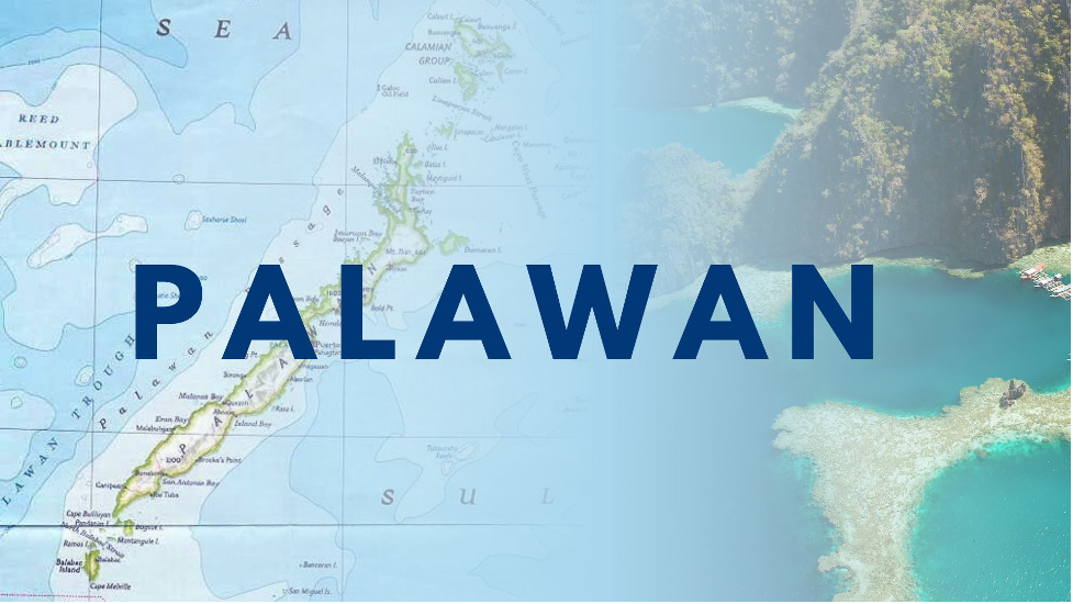
It’s More Fun to Know Palawan
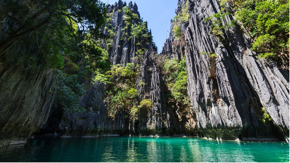
Palawan is not just an island of magnificent karst landscapes, abundant biodiversity, and pristine waters. With numerous accolades from being the Best Island in the World in 2013, 2016, 2017, and 2020, it is truly a place we can all be proud of. But perhaps, most importantly, it is also where we can trace back our history as people, which we will share with you in Part Two tomorrow.